Tuesday, March 8, 2016

May Weather in March?


Washington, D.C.’s average high today is 53 degrees.  That’s important to know as temperatures will be roughly 20 degrees above that this afternoon in the mid-70s.  In fact, temperatures will be in the 70s for the next three days in Washington, D.C. – more characteristic of May than March!

Although monthly temperatures were slightly below average through March 6, there has been a major shift in the weather pattern.  A sprawling area of high pressure has situated itself across the eastern United States – characteristic of the “Bermuda High” which typically sets up during the late spring and summer months.  Also, winds blow clockwise around areas of high pressure in the Northern Hemisphere and the southerly winds that ensue on the west side of the high pressure system will play a central role in this week’s warm weather.

Prior to today (already the warmest day so far in 2016), the last time temperatures were in the 70s in the Nation’s Capital was late last year.  Temperatures will be even warmer tomorrow and Thursday as they approach record levels in the upper 70s to around 80 degrees.  Not since 2012, have there been consecutive days with high temperatures in the 70s during the month of March in the Nation’s Capital.  Overall, the last time there were consecutive days with temperatures in the 70s or higher in the Nation’s Capital was a five-day stretch that began November 3, 2015.

Such mild weather this week is in stark contrast to last March which was 1.5 degrees colder than average and saw only three 70-degree days for the entire month.  According to NOAA, March has seen an average of 78 tornadoes nationally during the last 25 years.  By comparison, March 2015 had only 10 tornadoes since conditions were generally unfavorable for severe weather amid the widespread colder than average weather.  In late February, NOAA called for warmer than average March temperatures across much of the country. 

The warmer than average weather across the eastern United States is facilitating an increased potential for severe weather in the southern Great Plains where the Storm Prediction Center says there is an “enhanced” risk of severe weather today in parts of Texas and a slight risk of severe weather tomorrow in parts of Texas and Louisiana.  That’s not unusual as the month of March wears on and the typically active severe weather months of April, May and June approach.  However, the rest of the work week is looking mostly sunny and stellar along the East Coast. 

Record High Temperatures to Beat:

March 9

Washington, D.C. (National Airport, DCA): 80 (1964)
Dulles Airport (IAD), Sterling, VA: 79 (2000)
Baltimore, MD (BWI Airport): 79 (1964)

March 10

Washington, D.C. (National Airport, DCA): 78 (2006)
Dulles Airport (IAD), Sterling, VA: 78 (2006)
Baltimore, MD (BWI Airport): 77 (2006)

Sunday, March 6, 2016

Are You Ready for Spring?


Signs of spring abound in early March!

Following several colder than average days, there is going to be a major shift in the weather pattern across the eastern United States.  In fact, the first 70-degree weather of 2016 is on tap for Washington, D.C. this week.  It’s fitting that meteorological spring just arrived.  Average temperatures increase markedly in March, as well as the amount of daylight that people enjoy in the Northern Hemisphere.

In typical March fashion, this month has already featured a lot of variability in the DC Metro Region’s weather.  Through March 2, Washingtonians enjoyed a twelve day-stretch in which nine days were warmer than average.  That warm stretch of weather was followed by a string of three consecutive days of colder than average temperatures.  For the fourth consecutive year, March has seen measureable snowfall in the Nation’s Capital when 0.3 inches was observed at National Airport this past week.

NOAA’s temperature outlook for March is for above average temperatures across much of the United States, so this month could be more like 2012 in the Nation’s Capital.  Some Washingtonians may recall that March 2012 had an average temperature 10 degrees warmer than average – and was the warmest March on record.  Such record warmth enabled the 2012 cherry blossoms to reach their peak bloom roughly two weeks earlier than average (on March 20).  The National Park Service expects them to reach peak bloom starting March 31 this year – near the April 4 average.  By comparison, they didn’t reach peak bloom until April 10 last year. 

A major shift in the weather pattern this week as the jet stream shifts north across the eastern United States will help the cherry blossoms move toward their spring splendor.  Washingtonians will enjoy the first 70-degree weather of 2016 starting Tuesday.  While cooler than average weather and a few isolated snowflakes can’t be ruled out the rest of the month, below freezing temperatures become less frequent as March wears on.  So Washingtonians should not hesitate to enjoy outdoor activities this week, including the National Cherry Blossom Festival which begins March 20.

Last 70 Degree Temperature at (Source: NOAA):

National Airport (Washington, D.C.’s official weather reporting site): 70 (December 27, 2015)
Dulles Airport, Sterling, Virginia: 70 (December 25, 2015)
Baltimore, MD (measured at BWI Airport): 71 (December 25, 2015)

Saturday, March 5, 2016

Weather Quiz


Cherry Blossoms along the Tidal Basin, Washington, D.C.
What is the average date for the peak bloom of Washington, D.C.’s world famous cherry blossoms along the Tidal Basin?

A.  March 15

B.  March 31

C.  April 4

D.  April 18


Answer to Weather Quiz question from February 20.

True.  Prior to February 20, 2015, the last time Washingtonians experienced record cold in February was on February 26, 1970.  The temperature fell to 12 degrees on that day in the Nation’s Capital.

Thursday, March 3, 2016

March’s Seasonal Transition

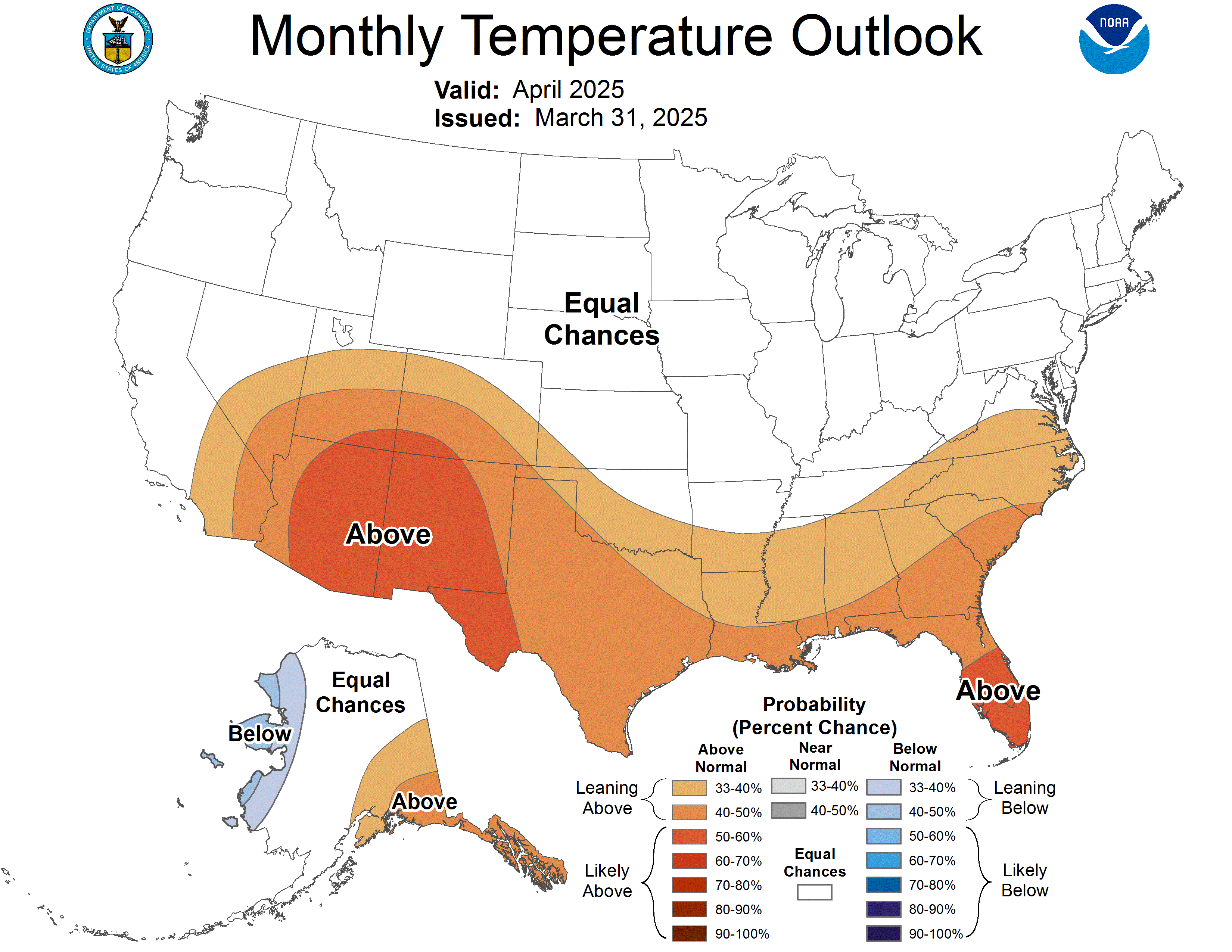
NOAA's Temperature Outlook for March
Following four consecutive days with high temperatures in the 60s coinciding with the start of meteorological spring, it shouldn’t come a surprise that the 2015-2016 winter was one of the warmest in recent memory in the Nation’s Capital.  That’s in large part due to Washington, D.C.’s warmest December on record.

“Meteorological spring” refers to the three-month period that runs from March 1 through May 31.  Average high temperatures warm significantly during the month of March in the Nation’s Capital ranging from 51 degrees on the 1st to 61 degrees on the 31st.  The hottest temperature on record during the month of March in Washington, D.C. is 93 degrees (March 23, 1907) while the coldest March temperature is 4 degrees (March 4, 1873).  Although March averages less snow than December, January or February, significant snow can occur in Washington, D.C.  In fact, Washingtonians have experienced above average snowfall during the last three March’s for the first time since the early 1940s.

According to NOAA’s Climate Prediction Center, there is a 40% chance of a warmer than average March in the Mid-Atlantic Region.  That would go a long way toward precluding a fourth consecutive snowier than average March.  Nevertheless, this winter has already seen above average snowfall (with 21.9 inches vs. the seasonal average of 15.4 inches) making this the third consecutive snowier than average winter.  There haven’t been three consecutive snowier than average winters in the Nation’s Capital since the late 1970s.

Starting February 20, nine of the last twelve days have seen warmer than average temperatures – including seven days with high temperatures in the low to mid 60s.  That’s more characteristic of early April than late February.  Aside from being able to leave winter coats at home, area residents have had other tell-tale signs of spring-like temperatures.  For example, perennials have been appearing earlier. 

The National Park Service announced yesterday that they expect the world famous cherry blossoms along the Tidal Basin to reach their peak bloom between March 31 and April 3.  That’s a little earlier than the average date of April 4.  My colleagues and I on the WUSA9 weather team will keep you apprised of the latest weather forecasts on-air, online and on the WUSA9 app free for your mobile devices.